 HARDWARE TELEMETRY
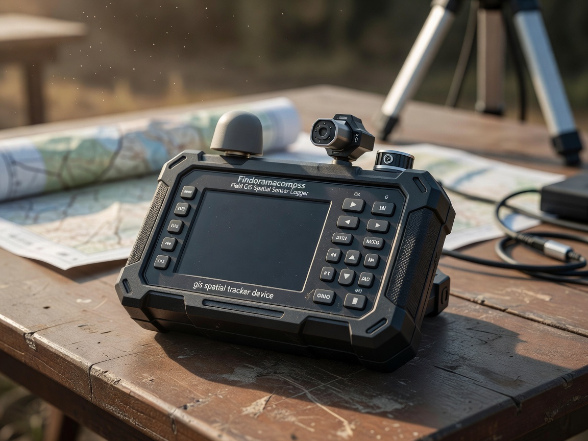
FieldGIS Vector Logger X-10
A standalone ruggedized logger that records magnetic declination flux, true north bearings, barometric pressure, and GNSS satellite coordinates.
- Accuracy: Sub-Meter Positioning
- Data Output: GeoJSON, GPX, KML
- Connectivity: Bluetooth 5.3 & USB-C
Inquire Hardware Specs
 OPTICAL RANGE
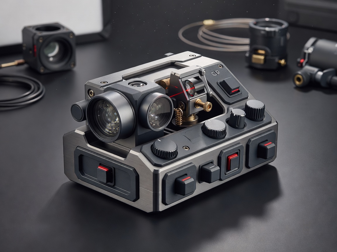
RangeVector 3000 Laser Compass
Combines a precision optical rangefinder with a digital magnetic compass to output target distance, elevation angle, and azimuth bearing simultaneously.
- Range Capacity: Up to 3,000 Meters
- Bearing Resolution: 0.1 Degree
- Enclosure: IP67 Waterproof Rubberized
Inquire Hardware Specs
 CARTOGRAPHY ACCESSORY
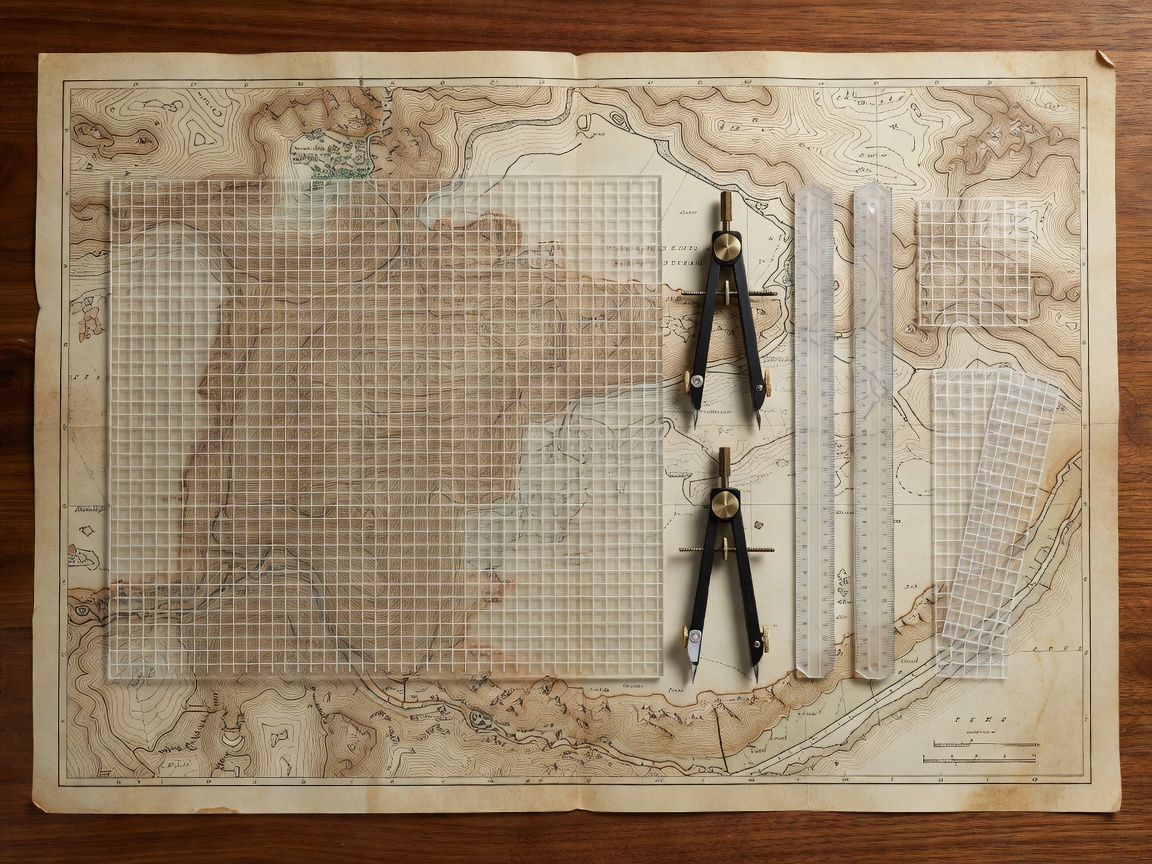
Precision Map Grid Overlay Kit
Transparent scratch-resistant acrylic overlay grids engineered with UTM, MGRS, and Lat/Long scales for rapid map plotting in field conditions.
- Scales Included: 1:24k, 1:25k, 1:50k, 1:100k
- Material: UV-Stabilized Acrylic
- Markings: Non-Glare Etched Lines
Inquire Hardware Specs
Modern cartography and search-and-rescue ops cannot rely on single-point telemetry. By pairing analog magnetic reference needles with high-frequency 3-axis magnetometers, Findoramacompss hardware eliminates digital dead-reckoning errors while preserving mechanical backup reliability.
1. Magnetic Anomaly Filtering
Onboard processors filter localized ferrous interference (e.g., vehicles, steel bridges) to maintain accurate azimuth tracking.
2. Real-Time Declination Auto-Lookup
Integrated International Geomagnetic Reference Field (IGRF) models update declination offsets automatically based on current lat/long.
3. Open Format Export
Instantly map recorded field bearings into standard GIS platforms including QGIS, ArcGIS, and custom spatial research pipelines.